
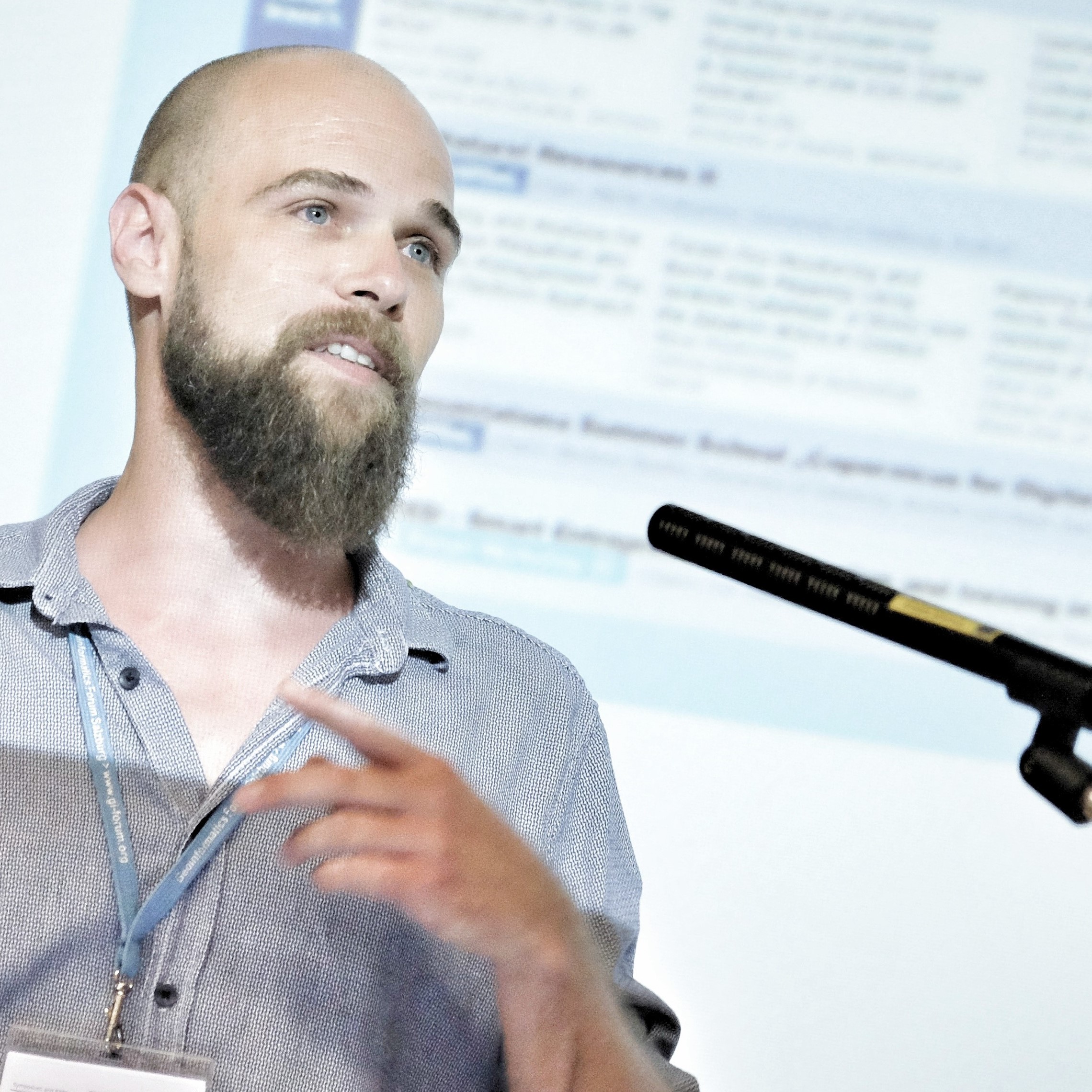
Dr. Robert Vogler
Senior Scientist
Geography Education & Socioeconomics Education
Hellbrunnerstraße 34, 5020 Salzburg
Tel.: +43 (0) 662 / 8044-5204
E-Mail:
Publications
see also:
- Papers in Journals:
- VOGLER, R. & Meyer, F. (accepted): Didaktischer Einsatz von Online Fragebögen im GW-Unterricht. Das Beispiel der Wegzugsmotivationen Jugendlicher. In: GW-Unterricht, 164(4), pp. pending.
- HENNIG, S., & VOGLER, R. (2021). GI school projects and their value and transferability to Uzbekistan. E3S Web Conf., 227, 06001. (https://doi.org/10.1051/e3sconf/202122706001)
- GOLSER, K., STUPPACHER, K. & VOGLER, R. (2020): Wie viel Innovativitätsförderungspotenzial steckt in den österreichischen Lehrplänen und Grundsatzerlässen der Unterrichtsprinzipien? Eine qualitative Inhaltsanalyse im Rahmen eines Lehrforschungsprojekts. In: GW-Unterricht, 160(4), pp. 44-54. (https://doi.org/10.1553/gw-unterricht160s62)
- PALLASSER, N. & VOGLER, R. (2020): Unsere Stadt erstickt in Abgasen? Ein Praxisbeispiel zur Implementierung der Bildung für Nachhaltige Entwicklung im digitalen GW-Unterricht. In: GW-Unterricht, 158(2), pp. 68-86. (https://doi.org/10.1553/gw-unterricht158s68)
- VOGLER, R., JEKEL, T. & KILLINGSEDER, E. (2018): Using the geographies of learning. An exploratory categorization for spatially enabled learning. In: GI_Forum 2018 – Journal for Geographic Information Science, 2018(2), pp. 181-192. (doi: 10.1553/giscience2018_02_s181)
- KOLLER, A., JEKEL, T. & VOGLER, R. (2018): RECC Geographie und Wirtschaftskunde – Geomedien. In: GW Unterricht 151 (2), pp. 66-68. (doi:10.1553/gw-unterricht151s66)
- VOCKNER, B., VOGLER, R., ATZL, C. & MITTLBÖCK, M. (2018): THE4BEES – Energieverständnis durch smarte Gebäude. In: AGIT ‒ Journal für Angewandte Geoinformatik, 4-2018; pp. 348-353. (doi:10.14627/537647044)
- VOGLER, R., HENNIG, S., & FERBER, N. (2017): Redressing the exclusiveness. Challenges which prevent new users from contributing to OSM. In: GI_Forum ‒ Journal for Geographic Information Science, 2017(1), pp. 294-299. (doi:10.1553/giscience2017_01_s294) http://hw.oeaw.ac.at/?arp=0x00369da8
- JEKEL, T., LEHNER, M., & VOGLER, R. (2017): „… das sind doch nur Lausbubenstreiche!“ Geographiedidaktische Zugänge zum Umgang mit rechtsextremen Symbolen im öffentlichen Raum. In: GW Unterricht 146 (2),pp. 5-18. (doi:10.1553/gw-unterricht146s5) http://www.gw-unterricht.at/index.php/onlineausgaben/19-2017/57-145-2018.html
- LEHNER, M., VOGLER, R., & JEKEL, T. (2017). Flying Kites, Nazi Ideology and Collaborative Mapping. Coping with rightwing-extremism in secondary education. In: GI_Forum ‒ Journal for Geographic Information Science, 2017(2), pp. 23-35. (doi:10.1553/giscience2017_02_s23) http://hw.oeaw.ac.at/?arp=0x00373573
- JEKEL, T., LEHNER, M., & VOGLER, R. (2017): Mapping the Far Right: Geomedia in an Educational Response to Right-Wing Extremism. In: ISPRS International Journal of Geo-Information, 6(10), 294. (doi:10.3390/ijgi6100294) http://www.mdpi.com/2220-9964/6/10/294
- HENNIG, S., VOGLER, R. & WASSERBURGER, W. W. (2016): Usability and Accessibility of Web Maps: Considering New User Groups and their Requirements. International Journal Of Geoinformatics, 12(4), 17-23.
- HENNIG, S. & VOGLER, R. (2016): User-centred map applications through participatory design: Experiences gained during the “YouthMap 5020” project. In: The Cartographic Journal 53(3), pp. 213-229. http://dx.doi.org/10.1080/00087041.2016.1148217
- VOGLER, R., HENNIG, S. & LINDNER-FALLY, M. (2015): Shrinking technical Challenges – Zur strukturierten Erstellung digitaler Karten im Unterricht. In: GW-Unterricht 137(1), pp. 49-60. http://gw-unterricht.at/component/phocadownload/category/31-gwu137?download=239:gwu-137-vogler-henning-lindner-fally
- HENNIG, S. & VOGLER, R. (2014): YouthMap 5020! What should youth-centred web maps look like? VOGLER, R.; CAR, A., STROBL, J. & GRIESEBNER, G. (eds.) (2014): GI_Forum 2014. Geospatial Innovation for Society. Wien/Berlin/Offenbach, pp. 285-294. (doi:10.1553/giscience2014s285) http://hw.oeaw.ac.at/0xc1aa500d%200x0030d5e7.pdf
- HENNIG, S.; VOGLER, R. & GRYL, I. (2013): Spatial Education for Different User Groups as a Prerequisite for Creating a Spatially Enabled Society and Leveraging SDI. In: International Journal of Spatial Data Infrastructre Research (IJSDIR), Vol. VIII (2013), pp. 98-127. http://ijsdir.jrc.ec.europa.eu/index.php/ijsdir/article/view/336/352
- VOGLER, R. & HENNIG, S. (2013): Providing geomedia skills beyond (post)secondary education. In: JEKEL, T. CAR, A., STROBL, J. & GRIESEBNER, G. (eds.): GI_Forum 2013. Creating the GISociety. Berlin/Wien, pp. 317-327. (doi:10.1553/giscience2013s317) http://hw.oeaw.ac.at/0xc1aa500d_0x002e6e6e.pdf
- HENNIG, S., VOGLER, R. & MÖLLER, M. (2013): Moderne Informations- und Kommunikationstechnologie in Großschutzgebieten. Nutzung und Bedeutung in der DACH-Region. In: Natur und Landschaftsplanung, 45(7), pp. 213-219.
- TRAUN, C., JEKEL, T., LOIDL, M., VOGLER, R., FERBER, N. & GRYL,I (2013): Neue Forschungsansätze der Kartographie und ihr Potential für den Unterricht. In: GW-Unterricht, 129(1), pp. 5-17. http://gw-unterricht.at/onlineausgaben/category/21-gwu-129?download=151:gwu129-traun-et-al
- THIELMANN, T., VELDEN, L. VAN DER; FISCHER, F. & VOGLER, R. (2012): Dwelling in the web. Towards a googlization of space. In: HIIG Discussion Paper Series No. 2012-03. Berlin, 91 pages; Available at SSRN: http://ssrn.com/abstract=2151949
- HENNIG, S. & VOGLER, R. (2011): WebMapping: Der Einsatz von digitalen, interaktiven Karten in Schule und Bildung. In: GW-Unterricht, 123(3), pp. 86-99. http://gw-unterricht.at/onlineausgaben/category/9-gwu-123?download=99:gwu123-hennig-vogler
- HENNIG, S., VOGLER, R. & JEKEL, T. (2011): Web-2.0 Anwendungen zur partizipativen Planung und Sozialen Geokommunikation. In: GIS.Science. Die Zeitschrift für Geoinformatik. 3/2011, pp. 65-74.
- AHAMER, G., JEKEL, T., VOGLER, R. (2010): Participate when Mapping Realities. In: Journal of Cases on Information Technology (JCIT), Bd. 12 (3-2010), pp. 100-12. http://www.igi-global.com/article/participate-when-mapping-realities/46042
- VOGLER, R., JEKEL, T., MÜLLER, N., SÖNSER, L., & HENNIG, S. (2010): Partizipative Planung, kollaboratives Lernen und digitales Webmapping. Versuch einer Schnittmengenkonstruktion. In: GW-Unterricht, 120(4), pp. 15-29. http://gw-unterricht.at/onlineausgaben/category/6-gwu-120?download=60:gwu120-vogler-et-al.
- VOGLER, R. (2010): Japan wird gemacht. Bildanalyse im (GW)-Schulbuch. In: GW-Unterricht 117, 1, pp. 52-66. http://gw-unterricht.at/onlineausgaben/category/3-gwu-117?download=20:gwu117-vogler
- SCHNEIDER, A. & VOGLER, R. (2008): Jena und der Turm. Vielperspektivische Exkursionsdidaktik am Beispiel der Jenaer Innenstadt. In: Praxis Geographie, 7-8, pp. 10-14.
- Papers in conference proceedings:
- HENNIG, S. & VOGLER, R. (2014): Auf dem Weg zur geodigitalen Gesellschaft: Erfahrungen zum Einsatz von participatory design am Beispiel der Internetkarte Universität 55-PLUS. In: STROBL, J., BLASCHKE, T., GRIESEBNER, G. & ZAGEL, B. (eds.) (2014): Angewandte Geoinformatik 2014. Berlin/Offenbach, pp. 216-225. http://gispoint.de/fileadmin/user_upload/paper_gis_open/537543024.pdf
- HENNIG, S., VOGLER, R. & MÖLLER, M. (2013): Use of Modern Information and Communication Technology in Large Protected Areas. In: Tauern National Park (eds.): Conference Volume for Research in Protected Areas 2013, pp. 289-294. http://www.landesmuseum.at/pdf_frei_remote/NP_Hohe_Tauern_Conference_5_0289-0294.pdf
- HENNIG, S. & VOGLER, R. (2013): Geomedia skills – a required prerequisite for public participation in urban planning? In: SCHRENK, M., POPOVICH, V.V., ZEILE, P. & ELISEI, P. (eds.): REAL CORP 2013 Proceedings, pp. 357-366. http://programm.corp.at/cdrom2013/papers2013/CORP2013_116.pdf
- VOGLER, R., HENNIG, S., JEKEL, T. & DONERT, K. (2012): Towards a Concept of ‘Spatially Enabled Learning’. In: JEKEL, T. CAR, A., STROBL, J. & GRIESEBNER, G. (eds.): GI_Forum 2012: Geovisualization, Society and Learning. Berlin, pp. 204-211. http://gispoint.de/fileadmin/user_upload/paper_gis_open/537521055.pdf
- HENNIG, S., VOGLER, R. (2011): Participatory tool development for participatory spatial planning. The GEOKOM-PEP environment. In: JEKEL, T., KOLLER, A., DONERT, K. & VOGLER, R. (eds.): Learning with GI 2011. Implementing Digital Earth in Education. Berlin, pp. 79-88. http://gispoint.de/fileadmin/user_upload/paper_gis_open/537510014.pdf
- HENNIG, S., VOGLER, R. & JEKEL, T. (2011) eParticipation 2.0 and its Application by the Example of Spatial Planning. In: 2011, ISSRM (ed.): ISSRM 2011, Bd. 03/2011; Madison, S. 50-60.
- VOGLER, R., AHAMER, G. & JEKEL, T. (2010): GEOKOM-PEP. Pupil led research into the effects of geovisualization. In: JEKEL, T., KOLLER, A., DONERT, K. & VOGLER, R. (eds.): Learning with Geoinformation V. Heidelberg: Wichmann, pp. 51-60.
- Papers in edited books:
- VOGLER, R. (2015): „Soziale Geokommunikation“ durch Laien: (k)eine Frage der Tools? In: HENNIG, S. (ed.): Online-Karten im Fokus: Praxisorientierte Entwicklung und Umsetzung. Berlin/Offenbach, pp. 105-123.
- VOGLER, R. & HENNIG, S. (2014): Using geomedia for collaborative learning environments – The example of participatory spatial planning. In: JEKEL, T., SANCHEZ, E., GRYL, I., JOUNEAU-SION, C. & J. LYON (Eds.): Learning and Teaching with Geomedia, Newcastle, pp. 187-199.
- VOGLER, R. (2012): Schüler:Stad/tt:Planer. Web2.0 mapping environments in Planung und Bildung. In: HÜTTERMANN, A., KIRCHNER, P., SCHULER, S. & DRIELING, K. (eds.): Räumliche Orientierung, Karten und Geoinformation im Unterricht. =Geographiedidaktische Forschungen, Band 49. Braunschweig, pp. 290-298 & 387-388.
- GRYL, I., JEKEL, T. & VOGLER, R. (2011): Geoinformation:Macht:Schule. Spatial Citizenship und subjektive Kartographien. In: DAUM, E. & HASSE, J. (eds.): Subjektive Kartographie. Beispiele und sozialräumliche Praxis. Wahrnehmungsgeographische Studien 26. Oldenburg, pp. 125-143.
- Editorships:
- VOGLER, R., CAR, A., STROBL, J. & GRIESEBNER, G. (eds.) (2014): GI_Forum 2014. Geospatial Innovation for Society. Wien/Berlin/Offenbach. (doi:10.1553/giscience2014) http://epub.oeaw.ac.at/7652-7
- JEKEL, T., KOLLER, A., DONERT, K. & VOGLER, R. (eds.) (2011): Learning with GI 2011. Implementing Digital Earth in Education. Berlin.
- JEKEL, T., KOLLER, A., DONERT, K. & VOGLER, R. (eds.) (2010): Learning with Geoinformation V. Lernen mit Geoinformation V. Berlin.

