
COPERNICUS MASTER IN DIGITAL EARTH, MASTERSTUDIUM
| Apply now | 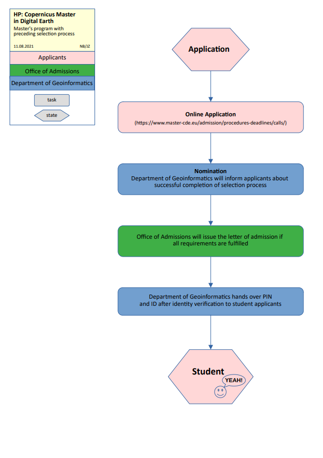 |
| Course Duration / ECTS | 4 semesters / 120 ECTS |
| University degree | Master of Science (MSc) |
| Admission Requirements and Curriculum | · The precondition for the admission to the Master’s degree programme is the completion of a relevant Bachelor’s degree programme or of another relevant degree programme of at least the same higher educational level at a recognised domestic or foreign post-secondary institute of education. For Erasmus+ EMJM programmes there is a qualification based selection process. · Curriculum |
| Language of instruction English | Proof of language proficiency |
| Dates and Deadlines | · The dates and deadlines change every semester. · The current deadlines and dates can be found here. |
| Information | Homepage |

What will I learn?
The research-driven Erasmus Mundus Master of Science provides a broad range of academic analysis and science-based methods and prepares students for a PhD programme. It inspires students to gain knowledge and skills from spatial sciences, geovisualisation, GeoAI and EO data analytics, applying a “Digital Earth” perspective. The programme has a clear application-oriented focus, while blended learning methods are an integrative part for developing critical thinking, practicing language and inter-cultural skills. Interdisciplinary, systemic thinking in space-related research, analytical skills, and techniques, as well as problem-solving competences are stimulated in core areas of Earth observation and Digital Earth.

What makes Salzburg so special as a place to study?
The Department of Geoinformatics – Z_GIS at the University of Salzburg is a recognized Centre of Excellence established since the late 1980ies and provides the competence and capacity for offering a high level of undergraduate and postgraduate education. The new English language Master of Science Programme is jointly offered to outstanding candidates as double degree. Students study Earth Observation and Geoinformatics in the first academic year at the University of Salzburg. Two Specialization Tracks offer candidates a pathway towards excellence either at University of South Brittany in GeoData Science or GeoVisualization at Palacky University Olomouc, in the second year of studies. The excellent support of students is a special feature, we translate research into education. A compulsory internship brings added value and links with potential employment opportunities.

Which career opportunities do I have?
Graduates of the MSc CDE programme will be able to independently plan and manage complex projects and applications in Geoinformatics as well as to cooperate on projects in spatial data infrastructures. The aim is to support and enhance decision-making in all application domains of Copernicus. Graduates of the MSc CDE programme develop a focus on methodological and technical areas of expertise, thus emphasizing career perspectives in public administration (e.g. spatial data infrastructures and geoinformatics services and application development, as well as in application domains such as in spatial planning, regional management, mobility, environment and nature conservation) and in business across a broad spectrum of industries. The study programme covers all areas of geospatial data collection and data management, spatial analytics, communication of results and decision support, interaction with of spatial information, as well as aspects of general management.
Photographs: © Luigi Caputo (1-3)


