
MSc Applied Geoinformatics (AGI) Student Information
Your guide to
admissions, campus news, and student life in Salzburg. Find tips, resources, and updates to start your postgraduate student journey with confidence.
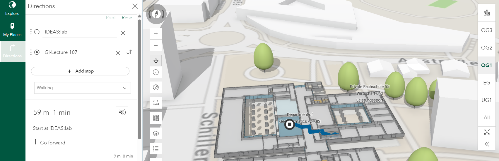
CampusMap University of Salzburg developed by Department of Geoinformatics – Z_GIS
- Admission Applying for the Master of Science program is easy with our simple two-step process.
- Prepare yourself Kickstart your Master’s journey with our handpicked, free online resources!
- Life in Salzburg Explore useful links for living, studying, and enjoying the city.
- Erasmus Mobilities / exchange opportunities Take your studies global, semester exchange opportunities await!
- Social Media LinkedIn is where we connect, join us!


